
Drone Services
Drone Services
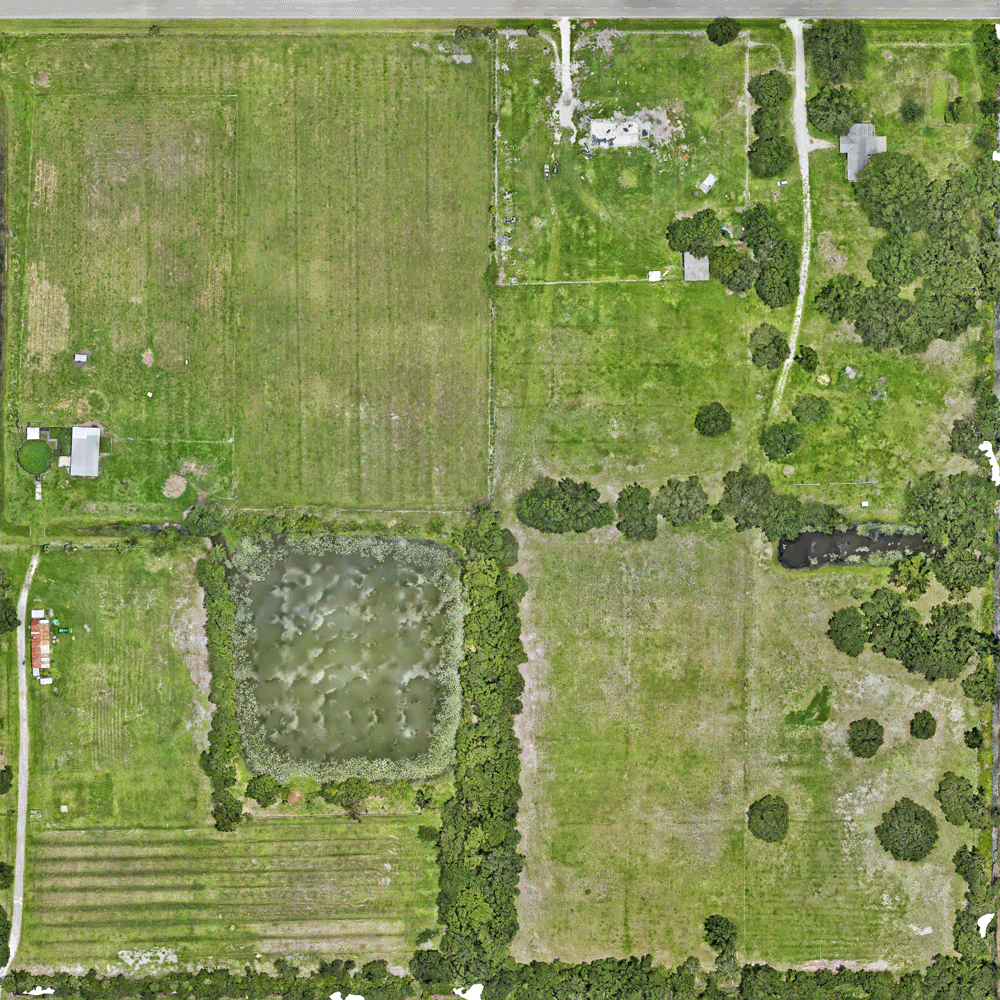
Get measurable site intelligence—fast. We capture your construction site or finished project in high-resolution maps, models, and media so you can verify progress, quantify earthwork, and spot issues before they become change orders. Safer. Faster. Defensible.
Tailored to your Needs.
Construction Progress Mapping
Ultra-sharp orthomosaics on a weekly or milestone cadence for a living record of site conditions, access routes, and work-in-place.
As-Built vs. Plan Overlays
Lay current imagery under your CAD sheets to check locations, clearances, and deviations—perfect for QA/QC.
3D Site Models / Digital Twins
Shareable, browser-based 3D models you can pan, measure, and annotate—no special software. Great for coordination and stakeholder updates.

Elevation Analysis
See real-world grades at a glance. We deliver colorized surface maps and contours to confirm slopes, drainage, and ADA compliance—before costly rework. Deliverables include DSM/DTM, 1–2 ft contours, spot elevations, cross-section profiles, and optional cut/fill surfaces, all exportable to CAD/PDF.

Earthwork & Cut/Fill
Quantify grades and movements with surface models and cut/fill takeoffs to keep dirt budgets accurate.
Panorama Views
Immersive 360° views that showcase your jobsite from every angle. Perfect for client updates and virtual walkthroughs.

Roof, Facade & Envelope Inspections
Close-range visual detail to identify damage, ponding, or heat loss without ladders or lifts.
Marketing Aerials (Photo/Video)
Cinematic visuals and branded edits that make your progress shine in proposals, social, and closeout decks.

Closeout & Turnover Packages
Orthomosaics (GeoTIFF/JPEG), PDFs with annotations, KMZ for Google Earth, point clouds/meshes, and 3D models. Curated photo sets to document delivery, warranties, and O&M.